Ground penetrating radar, typically referred to as GPR, changes how we can do our work as site engineers in construction, excavation, archaeology and more. This advanced technology gives us a non-invasive method for mapping subsurface features, assisting and supporting safe, efficient, and thoroughly planned projects.
GPR offers a simple solution for detecting hidden hazards underground, ensuring projects stay on track and within budget in industries where precision and safety are key. From structural planning to environmental monitoring, this cutting-edge technology is indispensable for meeting complex demands.
In this post, we’ll talk about the basics of GPR, how it works, and where we see its exciting future going.
What is Ground Penetrating Radar (GPR)?
GPR is a surveying tool that uses radar pulses to detect and map underground voids, utilities, and other subsurface features such as rock formations, tree roots, and old or demolished structure foundations. It is a non-invasive service and essential for identifying anything hidden below the surface that can pose a hazard in construction or archaeological projects. Its immediate results allow quick decision-making, helping move plans and projects forward.
How does ground penetrating radar work?
To simplify GPR, it can be thought of as an X-ray of the ground. It shows us what’s under the surface so that designs, plans, and construction can account for obstructions and voids.
GPR tools use electromagnetic waves to create images of the subsurface, called a radargram, by reading the energy that bounces off or through anything found underground. This technology is especially beneficial as the waves cause no damage, making it non-invasive.
Though ground penetrating radar cannot tell you exactly what it has found and surveyed, it is possible to get a loose idea based on the wave pattern characteristics. Metallic surfaces and wet materials will result in different radar data than voids, for example.
The materials the radar waves penetrate will alter the depth reached when using GPR. Ground that is dry and sandy is considered ideal and allows for a radar pulse reach of 2-3 metres deep. In more moist materials like clay, however, the depth is reduced.
The GPR process
The surveying method can be broken down into three steps:
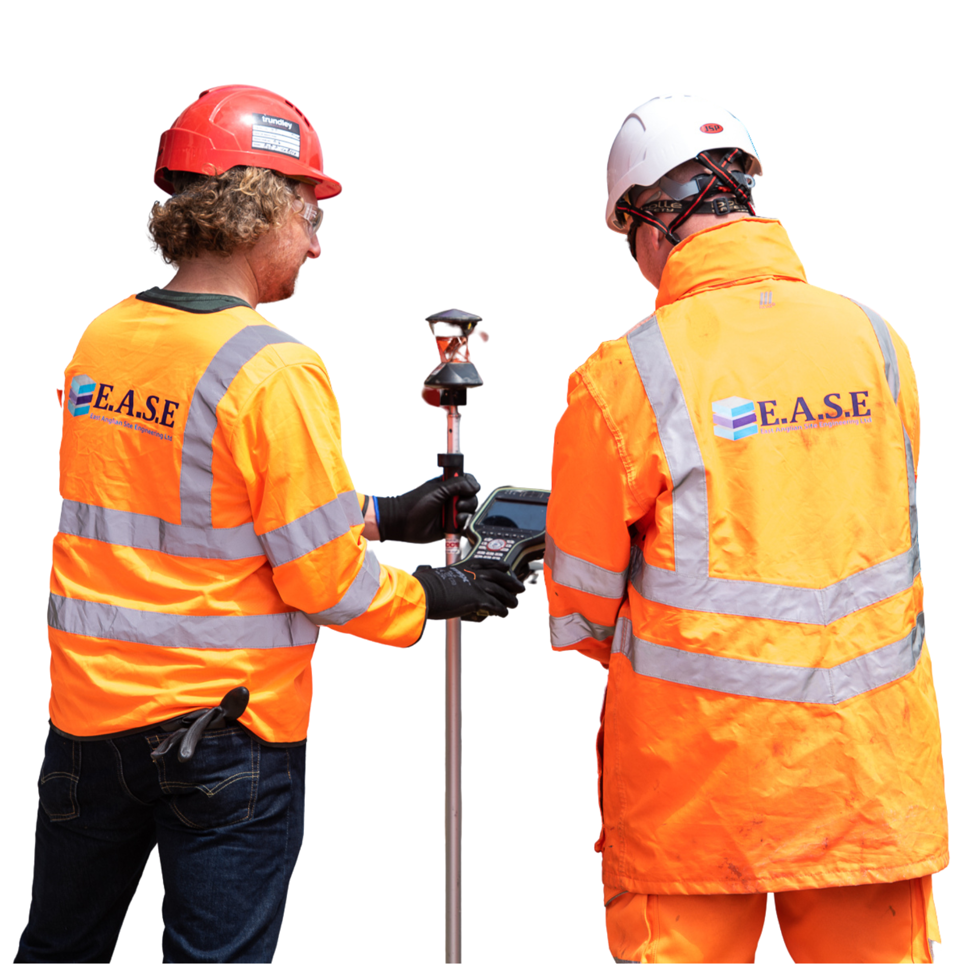
Preparation: First, the site is scanned using a CAT and Genny to ensure the site engineer’s coverage is as comprehensive as possible. This is typically done in a grid pattern for efficiency.
Collection: Next, the transmitter (the tool that uses electromagnetic waves to perform the radar survey) is moved across the surface of the pre-scanned area. It emits radar pulses as it goes, read by the accompanying control unit via the receiving antenna.
Analysis: The site engineers will read the radargrams created from the collected data and identify patterns that indicate utilities, voids, and more under the ground’s surface.
Using GPR in site engineering
Ground penetrating radar is a fantastic tool alone, but even better when used alongside other services. As site engineers, we provide a wide array of services to our clients, and the addition of GPR enhances them greatly. A good example of this is environmental monitoring.
Environmental monitoring is a service wherein we evaluate and mitigate the impact construction and excavation can have on the surrounding environment. This includes the wildlife, nature, residents, and more surrounding the construction site. It’s an important element of construction preparation as it ensures compliance with environmental regulations, helps you work ethically and promotes sustainability in construction, an industry that typically has a heavy environmental impact.
Using GPR in environmental monitoring helps engineers detect and identify potential hazards underground that could impact the area. This could include bursting hidden water pipes, rupturing old storage tanks, or unearthing hazardous buried materials and contaminants. With safe and non-destructive ground penetrating radar, we can spot these potential environmental issues before they happen and arrange the necessary removal or plan adjustments.
Laser scanning can also benefit from GPR, as their combined data can create much more advanced and comprehensive models from which to work. Together, these services will produce results that integrate all spatial data, helping design and construction teams to plan better.
The benefits of GPR
Let’s look at ground radar’s benefits in construction closer:
Non-invasive
As the electromagnetic radar pulses are non-destructive, no damage is caused to any materials or individuals during its use. It is a safe and harmless survey process, perfect for all applications and locations.
Time-saving
With the use of data provided by penetrating radar, there is no guesswork or mistakes to waste time on. Instead of spending time making assumptions and relying on outdated or incomplete
maps of where utilities, voids and obstructions may be, you can immediately detect them with radar pulses and plan accordingly.
A disaster can happen in the blink of an eye without detection tools, which wastes a huge amount of time and money. Rather than hit an unexpected power line or build on top of a sinkhole, ground radar will help you identify these future problems and adjust.
Increased safety
Rupturing a gas line can lead to dangerous leaks, fire, and explosions, which can lead to injuries and even loss of life. Burst water pipes can result in large-scale floods and water service interruptions for local residents, and cutting through electrical cables can cause power outages, which pose a danger. GPR helps you map utilities such as these to keep everyone on and near the construction zone safe.
The future of GPR in site engineering
As the future evolves, so does the technology we rely on. As site engineers, we’re always looking for advancements in the tools we use, and when it comes to GPR, the future looks bright. We’re expecting the integration of AI and ground penetrating radar to bring new levels of data interpretation, helping shape plans and projects more quickly and in more detail.
Improved sensor technology can result in more accurate data to work with and potential advanced material identification while in use. This could include artefact detection, which would be extremely beneficial in archaeological digs and excavations.
With these steps forward, however, come challenges. Technology becoming more advanced will require workers with specific training, as well as a high chance of new regulations to monitor this new tech.
We at EASE are committed to innovation and using the best tools and technology available. This enables us to stay ahead of the curve and provide only the best level of service to our clients.
The GPR service by East Anglia Site Engineering
Ground penetrating radar is an essential surveying method in site engineering, enabling construction and archaeological teams to work with accuracy, safety, and efficiency. Thanks to its non-invasive nature, ability to save time, and critical role in preventing costly mistakes, GPR is an essential tool for projects of every scale.
The EASE team is dedicated to leveraging this innovative technology to provide exceptional service at every job. Discover how our GPR services can enhance your next project by contacting our expert team today on 01603 211808.