The construction landscape is always changing, with new technology emerging and existing tools improving all the time. It’s important to keep up in this industry so that you can offer your clients the best service possible, which is why we at East Anglian Site Engineering make it our duty to continue to learn new and hone our existing skills.
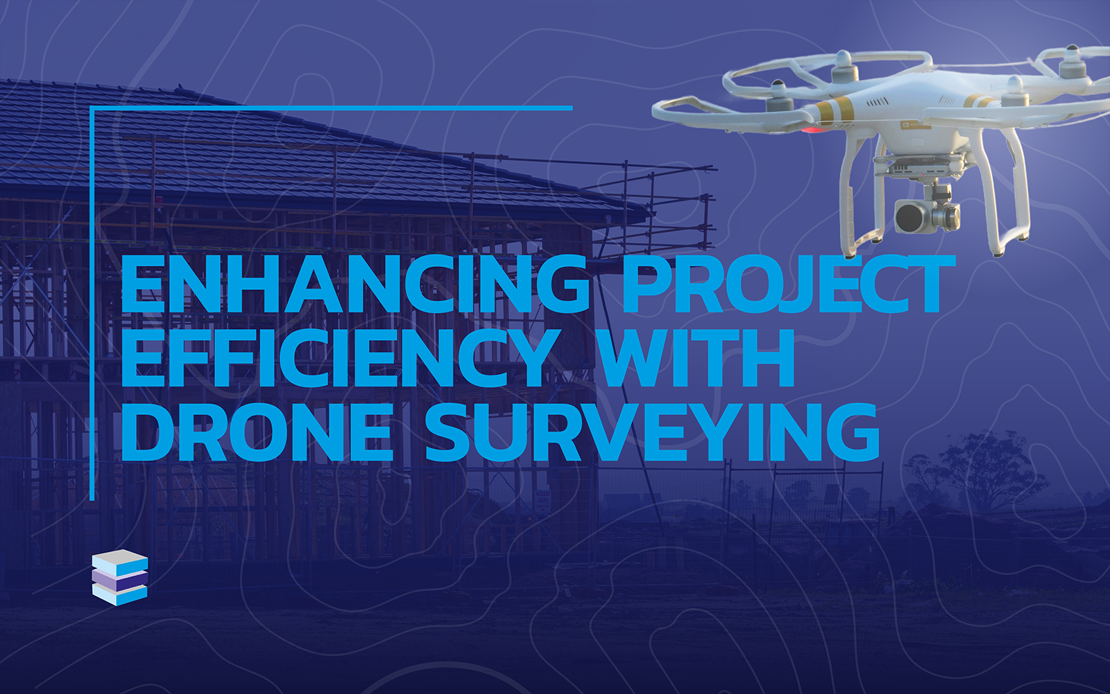
One of the services that we go above and beyond to offer is drone surveying.
While not a standard skill in the site engineer’s tool belt, we are proud to offer this service to our clients. We have undertaken drone surveying training to provide you with an efficient and highly accurate service, ensuring the smooth preparation, running, monitoring, and progression of your project.
In this post, we’ll discuss what drone surveying is, how it works, and how its efficient and cost-effective qualities make it nothing but a benefit to your project.
What is drone surveying?
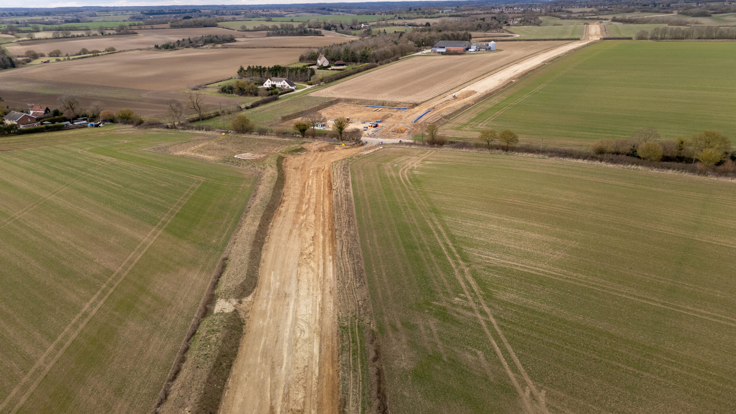
Drone surveying is the method of using a drone, also known as a UAV (Unmanned Aerial Vehicle), to collect data from the air for a specific area. This is called a ‘survey’, and includes the collection of high-resolution images, videos, and other imaging data for site teams and stakeholders to utilise.
The use of drones also provides a simple way to track progress, access unreachable areas, monitor operations, investigate and analyse, and assess dangerous or emergency situations. It is an incredibly useful service, popular for its efficiency and speed, and one that we are trained to deliver and enhance your site operations.
How does drone surveying work?
Drones work by using cameras, sensors, and LiDAR (light detection and ranging) technology to capture imaging data, pictures, and videos as they fly over work sites and other areas.
Drone surveying is used across many industries, including construction, agriculture, mining, and environmental monitoring. The collected data is used for creating highly detailed maps, orthomosaics and 3D models, supporting projects and operations with total efficiency in a quick, safe, and cost-effective way. We get into more detail about advanced data collection in our enhanced data analysis post.
The benefits of drone surveying
Time-saving
Drone surveying saves an incredible amount of time. Because of their advanced technology and aerial abilities, using a drone to survey large areas takes far less time than land methods. Drones can collect data at a rapid speed, capturing high-resolution images in a fraction of the time someone on the ground could.
Wider reach
Some sites feature terrain or obstacles that prove difficult to manoeuvre when on the ground. Because drones fly, they’re able to complete surveys in inaccessible and unsafe areas, meaning workers don’t need to put themselves at risk or spend time getting into unreachable zones.
Labour efficient
Drones are designed to be easy to use by those trained to do so. Instead of entire teams dedicated to the various elements of surveying, a drone can get every job done quickly and efficiently, with just one operator. This results in both time, money, and manpower saved.
Highly accurate
Because of their highly advanced technology, drones are able to capture pictures and videos of a high resolution, alongside exact imaging data. These results make enhanced planning and design, accurate measurements and analysis, improved progress tracking, and issue detection possible.
Reduced risk to personnel
By using drones to survey and map, you no longer need to put workers into potentially dangerous positions. Height is essential for accurate surveying, and with a drone, no staff will be required to climb up high for imaging. Dangerous terrain won’t need to be traversed for initial surveying, and any emergencies can be initially checked by a drone rather than personnel.
Drone surveying by EASE
We want to offer our clients the best service possible, which is why we provide efficient drone surveying as part of our skill set. Whether in combination with our expert setting out engineering or as a standalone service, our drone surveying is performed by highly trained individuals on our team for top-quality results.
We are not an agency, we are a service provider. This means we take full responsibility and liability for our work, ensuring a meticulously managed project every time.
If you’d like to discuss our offered services further, don’t hesitate to get in touch. Call us on 01603 211808 to speak with one of our friendly experienced team, or use our simple online form to place an enquiry.